Translate

Tuesday, March 18, 2014

Mars - The ultimate back country road.

Photo taken on November 27th. Thanks to NASA for the photo.

Photo was taken by the Mars Curiosity Rover on February 19th, 548 Mars days since landing. The second photo is a forward view panorama taken from the same location, thanks to NASA for the photos.


Looking back to Dingo Gap 27/2/14
This image from the Navigation Camera on NASA's Curiosity Mars rover shows wheel tracks printed by the rover as it drove on the sandy floor of a lowland called "Hidden Valley" on the route toward Mount Sharp. The image was taken on Aug. 4, 2014.
Image Credit: 
NASA/JPL-Caltech

This image from NASA's Curiosity Mars rover looks down the ramp at the northeastern end of "Hidden Valley" and across the sandy-floored valley to lower slopes of Mount Sharp on the horizon. The rover's Navigation Camera captured this southward view on Aug. 12, 2014, after exiting the valley. Image credit Nasa Caltech
Image Credit: 
NASA/JPL-Caltech
Image Credit: NASA/JPL-Caltech/MSSS

Mount Sharp Buttes taken on day 387. Photo courtesy of NASA


Thursday, January 30, 2014

Spit Bridge to Manly Walk

This is another excellent Sydney walk, starting at the Spit Bridge it follows the river and bays until it finishes at Manly. The views are spectacular, the track is in good condition, it's well signposted and there is plenty of shade. It is a very stark contrast to the Cliff Top Walk in the Eastern Suburbs which is posted earlier on this blog. Maybe the E.S. councillors should cancel this years study tours to Europe and the USA and instead take a ferry across the harbour to see how it should be done. Part of the track is maintained by National Parks and the rest by Manly Council.

Parking is scarce and expensive at Clontarf, $16 per day, it is only a 15 minute bus ride from Manly which can be combined with a ferry ride to and from the city if the bus is used.


At this point the track is about 20 metres above the shore, there were plenty of sunbathers and a few people swimming around the boats, while I was taking this photo a 1.5 metre shark appeared just to the right of the closest boat and started to patrol the beach 10 metres from the shore. I was able to find a track down to the beach to warn the swimmers. 


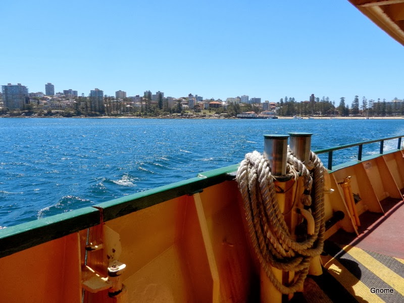
The trip back to the city on the ferry is a great way to finish the day.


My Endomondo GPS app was having trouble finding the signal under the trees and kept pausing, final distance shown was 8.24 kms. but it is closer to 10kms. in total